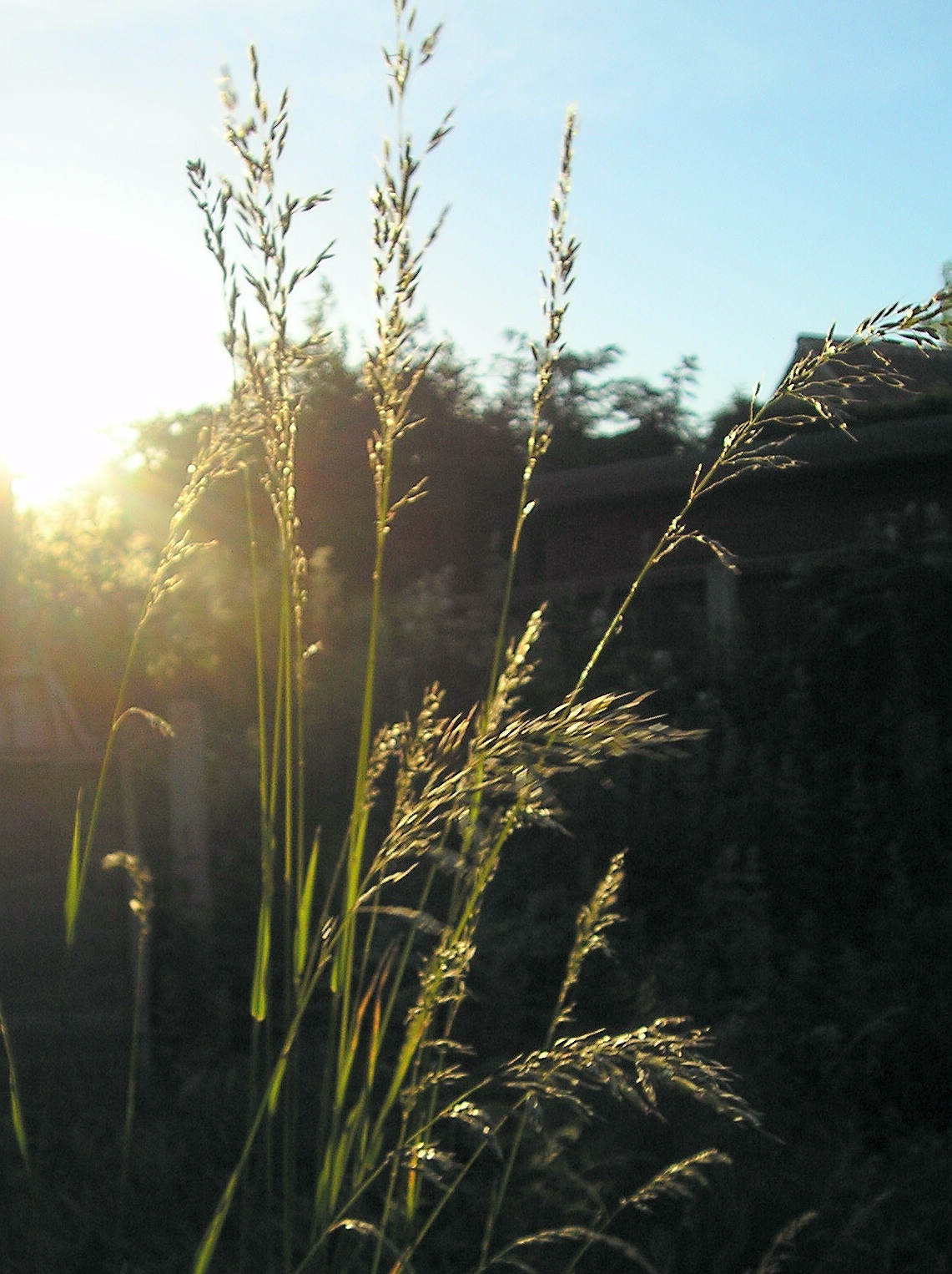
So having travelled what seemed like the length of England I was ready to walk across it or at least I thought I was!! so this fool rushed in-getting off the train at St Bees I walked the half mile to St Bees Head on the Irish Sea, the starting point of the coast to coast and my bed for the night or at least the campsite.I had decided to camp along the way saving on the expense while putting up with the extra weight (the first of my many mistakes) I was soon bedded down for the night feasting on the noodles and cup a soups from the large stock of dried food in my pack.
DAY 1
Having spent the last part of the journey travelling down the coast from Carlisle I had decided to take the coast detour recommended in my guide-book 5 miles north before joining the direct path just 2 miles from the start.
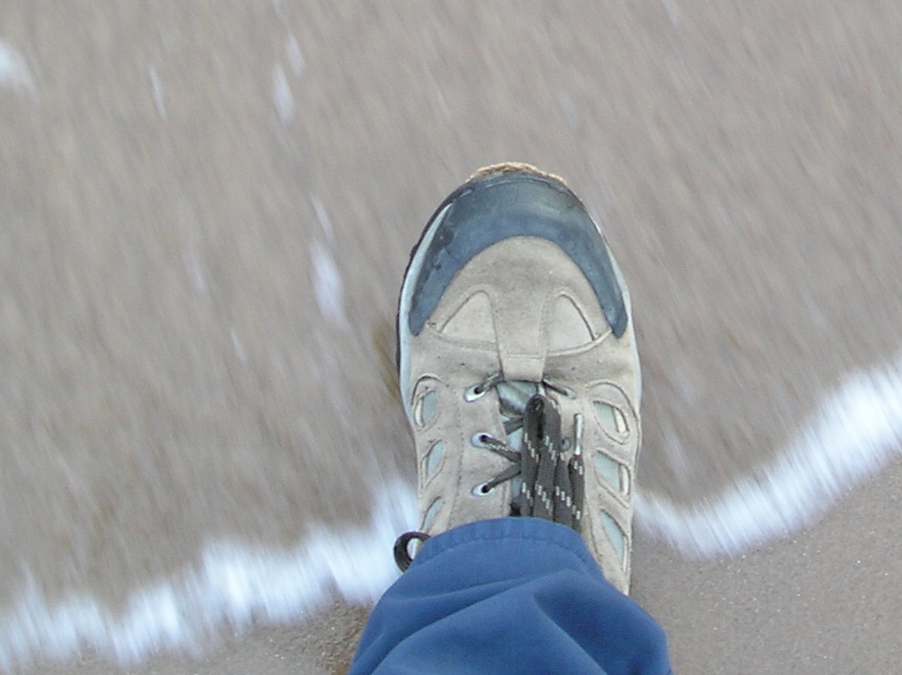
 a rainy restless uncomfortable sleep before packing up and setting off at first light 5am 15 miles to walk and all day to do it in piece of cake.It's traditional to first place one boot in the water on the east coast and then at the end your other boot in the see on the west coast,I had chosen to do the east coast first as this was recommended in my book so as always to have the wind behind your back-the downside being that you had to do the lake district first before the two other national parks.
The Lake district is very beautiful ( England's Switzerland) but it also includes most if not all of the highest peaks ( mountains) in England (second mistake)
the game was afoot and I was soon in my stride a little misty but great to be walking again,the view across the sea was of the Isle of man,northward was the Solway Firth and Scotland.

the path was easy to follow and included a few stiles easy to pick out,one such even had what at first glance seemed to have a black bin-liner attached but turned out to be a pair of large blackbirds? who seemed in no rush to move off,in fact they treated me with indifference only taking flight at the very last minute

 The path continued past a ruined coastguard station-observation hut before turning inland just before Whitehaven and I was faced with the view of the high peaks of the Lake District.
my pictorial guide contained all I needed and I mentally ticked off the small stages Fleswick Bay Saltom Bay Birkhams Quarry into Sandwith and onto the town of Cleator having crossed the railway line and passed the Chemical works,I could see the railway line and followed the path large buildings in view in the distance. turned out to be a large public school just up from the town of ST BLOODY BEES. I had some how connected up with the other route and was now having walked 7 miles was just half a mile from my starting point,"you have walked the ox-bow" the shopkeeper told me through his smiles "you wouldn't believe how many do it" oh how he laughed as he pointed out the roadway to Cleator 4 miles up the road and up it was now under blazing hot Spanish like sun passing through the small working class town of Moor Row a feeder town of the more industrious larger town of Whitehaven and feed I did on the best meat and potato pie I have ever eaten hot from the oven of the small bakery before finally reaching Cleater thanks to a comforting large yellow arrow painted on the road at a confusing crossroad.
More people were now walking having set of later and missing out on my circular detour
making use of their large maps strapped round their necks they marched on and I followed up and upwards to the top of the first peak "the Hill of Dent" 1131ft high and down the very steep slope the other side,a taster of what was to come in the next few days as I moved further into Lakeland.


 the evenings end was ment to be the tourist village of Ennerdale Bridge but seeing a sign for camping at a farm 1 mile short I called it a day and fell into my tent.
Day 2
 a good nights sleep,my camp site shared by 9 others all eating delivered piza and beer baught from the farmers fridge,why walk a mile down the hill to Ennerdale Bridge and then back up the hill he said. left the farm and turning right started to walk followed by 8 young lads who had done yesterdays walk in half the time I had but their feet were all bad and blisterd,after a mile of uphill road walking realised we were wrong, the lads turned round, but clever me not wanting to set off cross country following a bridel path that would cut the corner off and bring me to Ennerdale water the next tick on the route.
the guide I carried "A COAST TO WALK" by A Wainwright only suggests a route leaving up to you to stay on route or chose your own.
he also wrote "one should always have a definite objective in a walk as in life an objective is an ambition and life without ambition is .....well.just aimless wandering"

the thing with this walk is there is no signposts no nice yellow arrows-just footpaths clearly defined on the Ordnance Survey maps,only I didn't have one (5 needed for the whole walk) and was just relying on my guide,I was starting to feel I was unprepared for this walk and I was right.
the hill was marked in my guide just cross it and Ennerdale water should be there,and it was but the nice bridle path came to an abrupt end leaving me high above the valley of Ennerdale with no path down

it maybe does not look too bad,but it took me 1 hour to reach the waters edge footpath, stumbling over rocks hidden by dense bracken growth,no bones were broken just ego's.
as I lay at the bottom taking a breather a passing mother and daughter said they had watched my decent while taking lunch and had quite enjoyed my antics,I nearly threw them in the lake!!
it was becoming very clear to me that this was no walk for old fools so with new determination I walked on


Black Sail hostel is the most isolated in Lakeland very popular and booked out weeks if not months in advance, so not for the unprepared walker like me
my route takes me up loft beck a steep climb to the left (not the nice gap between the two).

as I passed Black Sail hostel I met up with a bunch of Australians based there, on their way down off Pillar and taking a dip in the stream,I'd smelt the dinner cooking as I passed the Hostel oh to be organised.

the head of the dale was to be my bedroom for the night,amongst the "drumlins" large anthill like mounds formed by the glacier.
thankfully I could no longer smell the cooking dinner and dined on pasta and cups of coffee and biscuits.
no shops no pub no water (apart from the beck)

this photograph was taken while I lay in my tent reflecting on the day.
it also got very cold doh!!


the climb in the morning took me a while and a hard climb it was,up rocks at the side of a fast running beck,stopping a lot to catch my breath and take these two pics.
to look back down Ennerdale and further to the sea made it all worthwhile and reminded me why I was doing this thing.
taking a path that came down from Great Gable I continued down above the Buttermere valley and Honister pass to the small village of Seatoller 5 miles 4 of which was on loose rock,not very pleasant but great views and if I had spare batteries I could have taken more pics!!!.the nearer I got to the Honister pass, the more People I met climbing up all clean and smelling of aftershave,out for this Sunday walk in the hills I wished them all well,especially when they told me the ruined slate mill that my guidebook talks of was now a working tourist place complete with cafe toilets and car park..
having gorged on Cornish pasties and coke used the facilities filled up with fresh water I continued down into Seatoller made full use of its only pub and strolled alongside a beautiful little river into Rosthwaite a pretty village in Borrowdale the most tourist of dales in the Lake District,no campsites here so on to Stonethwaite and found one with showers and a small pub just down the road,I was feeling very weary,tired from the walk on this very hot day and lack of sleep decided to stay the night and then take a rest day,catch a bus to Keswick (the big town) eat like a normal person and stock up with supplies.Lessons had been learnt the hard way time to take stock.